Advance LiDAR & GIS
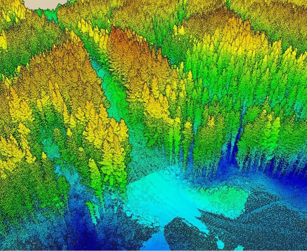
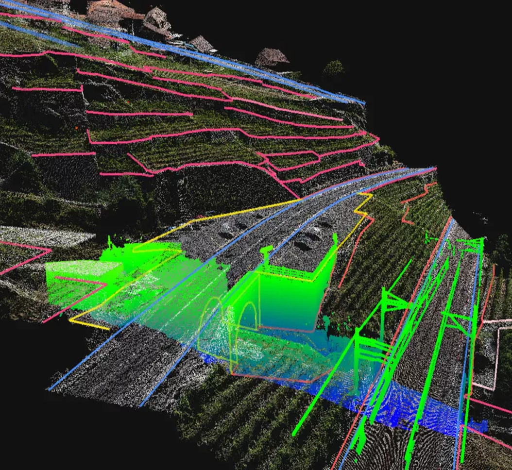
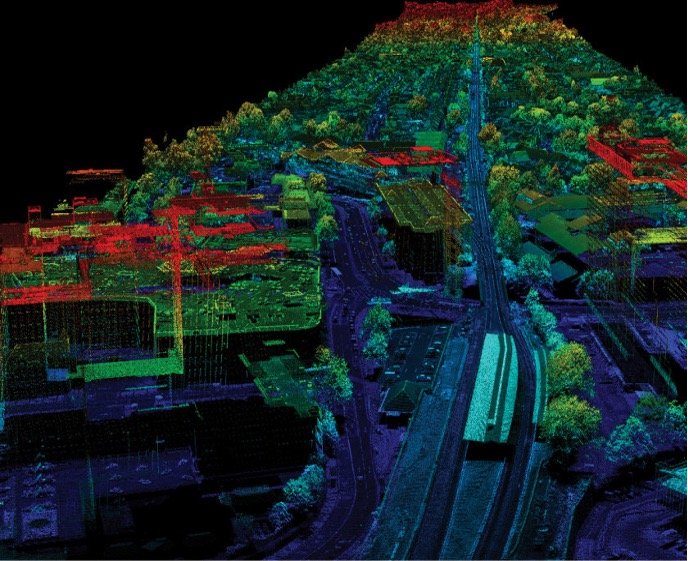
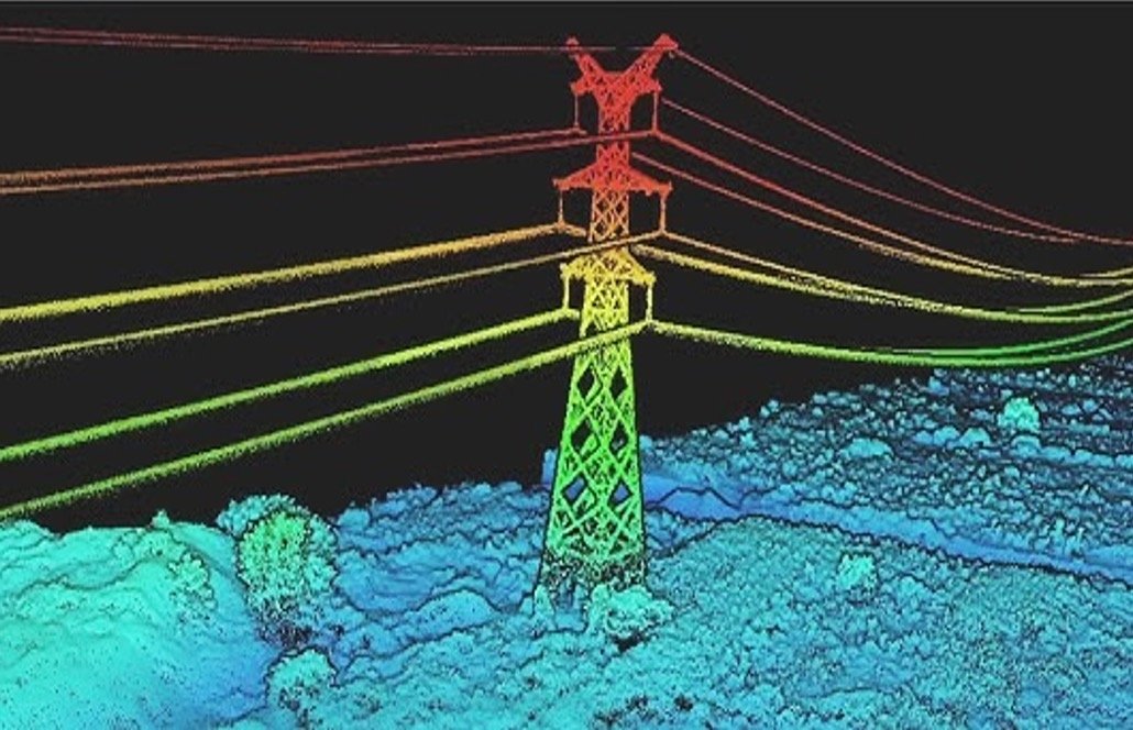
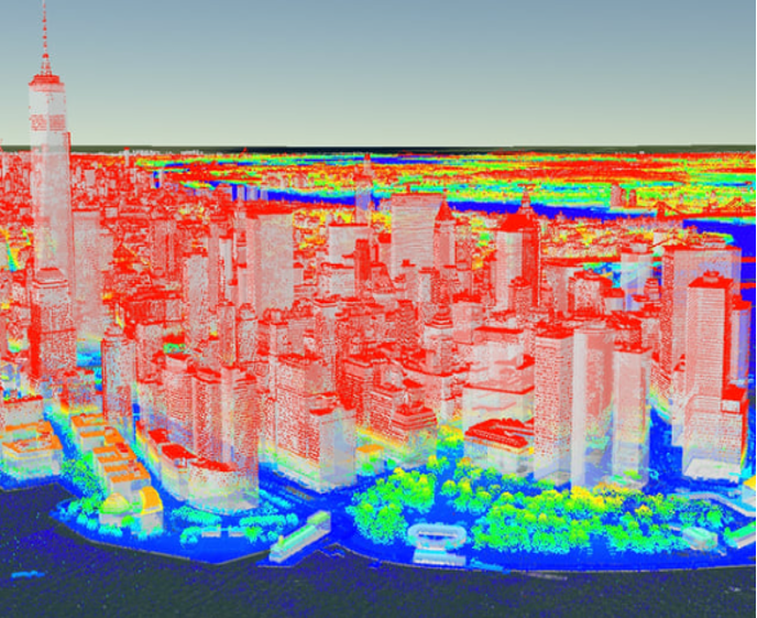
Want to learn how professionals create ultra-accurate 3D maps of cities, forests, or infrastructure using drones? DroneAcharya’s Advanced LiDAR & GIS Course trains you to collect, process, and analyze LiDAR (Light Detection and Ranging) data along with powerful GIS software tools.
This course is perfect for survey professionals, drone data analysts, civil engineers, forestry officers, and students in geospatial fields who want to work on advanced-level mapping and modeling projects.