Revolutionize Defence Strategies

Terrestrial Mapping Using Drones

Unveiling Terrain Dynamics Through Drone-Based Mapping. Harness Drones and Data Analytics for Precision Terrain Modeling in Military Operations.

Aerial Innovations

About the Sector

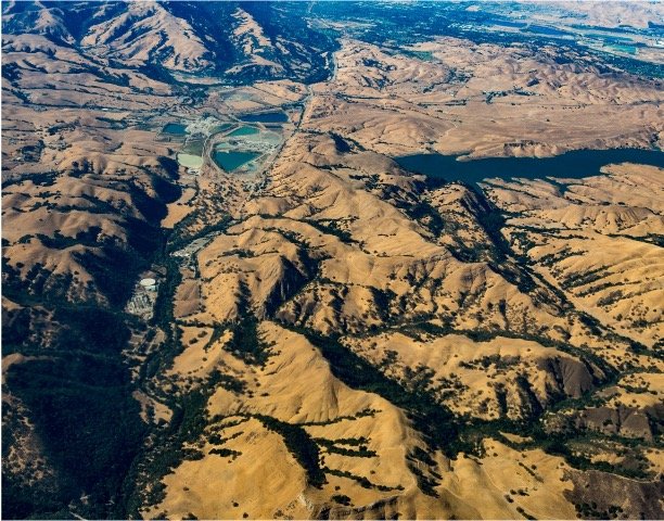
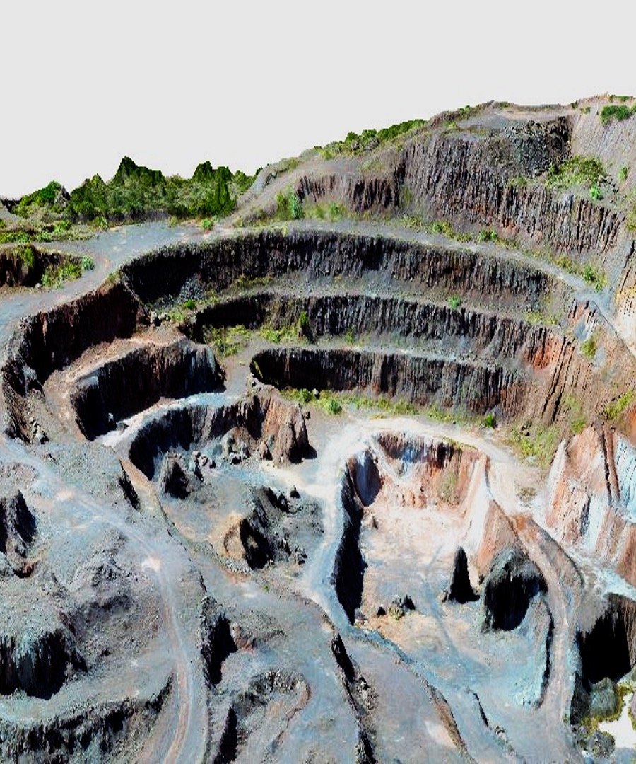
Accurate terrain mapping is critical in defence for informed decision-making and strategic planning. Drones with high-resolution sensors provide real-time data, enhancing situational awareness. DroneAcharya’s subject matter expertise coupled with advanced technology enables creating precise terrain models, ensuring personnel safety and mission success.

About Terrestrial Mapping 1
About Terrestrial Mapping 2

Data collection

DroneAcharya boasts of a team of certified drone pilots that excel in terrain modeling surveys. Once the area of interest is finalized, our skilled team conducts thorough site reconnaissance and plans flight missions for precision. In certain special conditions where automated data collection is not possible our drone pilots can also manually fly the drones.

Data Processing

All thanks to our highly experienced GIS team with a cumulative experience of over 50 years & equipped with the latest software you can rest assured your project will be delivered with the highest of industry standards. Additionally if you have any specific requirement we can always tweak it.

Defence Tech

SOLUTIONS

Leveraging Drone Technology for Precision Terrain Analysis and Threat Detection

3D Modeling & Contour Maps

Utilizing high-resolution drone data, we craft precise 3D models including Digital Surface Model (DSM) and Digital Terrain Model (DTM), enabling contour map creation with intervals as fine as 0.25m, which can be useful for Slope Analysis.
3D Modeling & Contour Maps

Soil Trafficability

Drone-generated terrain models facilitate battlefield Soil Trafficability mapping, crucial for assessing soil bearing capacity to support military vehicles and determining optimal paths. These detailed maps aid in strategic planning by predicting enemy troop movements and guiding selection of secure routes for military operations.
Soil Trafficability

Land Mine & UXO Detection

Employing drone-generated high-accuracy terrain models alongside magnetometers enables the detection of unexploded ordnance (UXO), such as projectiles or bombs that failed to detonate. This approach enhances safety by identifying and safely removing hazardous remnants from past conflicts, minimizing risks to personnel and infrastructure.
Land Mine & UXO Detection

Enhance Your Defence Strategies Today!

Partner with DroneAcharya for Unparalleled Terrain Mapping and Risk Mitigation Solutions.